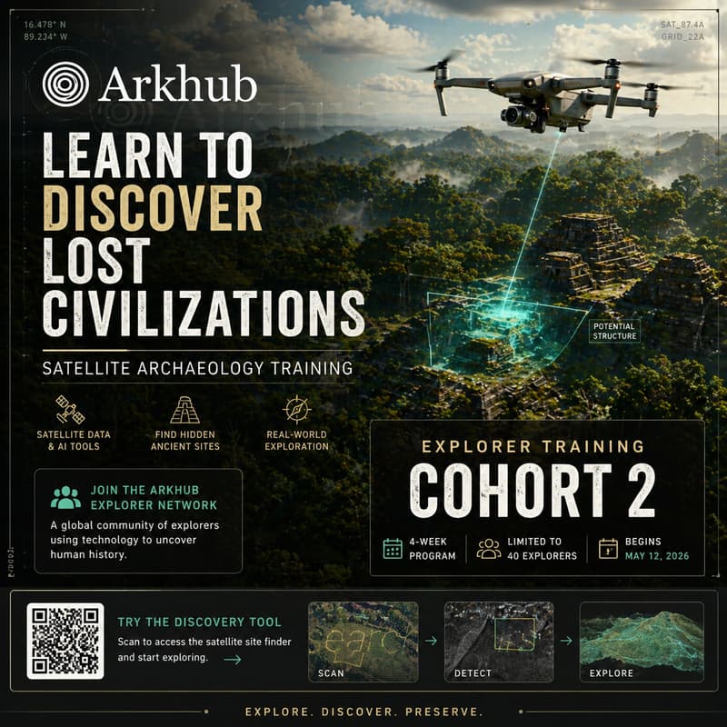

Hunt for Lost Civilizations #1/3 | Satellite Archaeology Bootcamp by Arkhub
Next cohort: Explorer Cohort 2
→ Reserve your place in the expedition
An expedition hosted by the Arkhub Institute
What if discovering a lost ancient site didn’t require a jungle expedition — only a laptop?
Arkhub: Search for Lost Civilizations is a 4-week research expedition where participants learn the methods used to detect ancient sites from satellite imagery and remote sensing data.
But this isn’t just a class.
It’s the entry point into the Arkhub Explorer Network — a growing community of technologists, historians, and explorers working together to uncover traces of past civilizations from space.
Across three live hackathons, you’ll work alongside other explorers using tools built by the Arkhub team to scan landscapes, analyze satellite data, and identify candidate archaeological sites that may never have been documented.
By the end of the program, you won’t just understand the theory — you’ll know how to run real discovery workflows yourself.
Who This Is For
This program is designed for curious builders and explorers:
History enthusiasts who want to participate in real discovery
Technologists interested in geospatial and remote sensing tools
Researchers, students, and independent explorers
Anyone who has ever wanted to hunt for lost civilizations
No prior archaeology experience required — just curiosity and a willingness to explore.
What You'll Learn
Each session builds your ability to run independent archaeological site searches from anywhere in the world using real data and professional workflows.
By the end of the program you will have:
• Built a working satellite-based detection pipeline• Learned professional remote sensing analysis techniques• Identified and evaluated potential archaeological structures• Contributed to a live investigation into undocumented sites
Graduates of the program gain access to the broader Arkhub research network, where discoveries, candidate sites, and future investigations are shared.
Tools & Technologies
Participants will work directly with the tools used in modern satellite archaeology.
Satellite data accessNASA Earthdata, ESA Copernicus, and OpenTopography via Python APIs and QGIS
Multispectral & hyperspectral analysisNDVI, SAR backscatter, and custom band combinations using rasterio, numpy, and matplotlib
LiDAR terrain processingSub-canopy feature extraction using PDAL and QGIS
Detection pipeline constructionRepeatable, scriptable Python workflows deployable across any region on Earth
Archaeological research methodologyHypothesis formation, candidate zone prioritization, and research-grade documentation
What Happens During Each Session
Each hackathon is a live research sprint.
Together we focus on a specific region of interest in Peru and the broader Andean world, using satellite analysis to locate patterns and anomalies that may indicate undiscovered structures.
You’re not watching demonstrations — you’re participating in real exploration.
Pricing & Access
$199 for the full program (three sessions).
Seats are intentionally limited so participants can collaborate directly with the research team.
Next cohort: Explorer Cohort 2