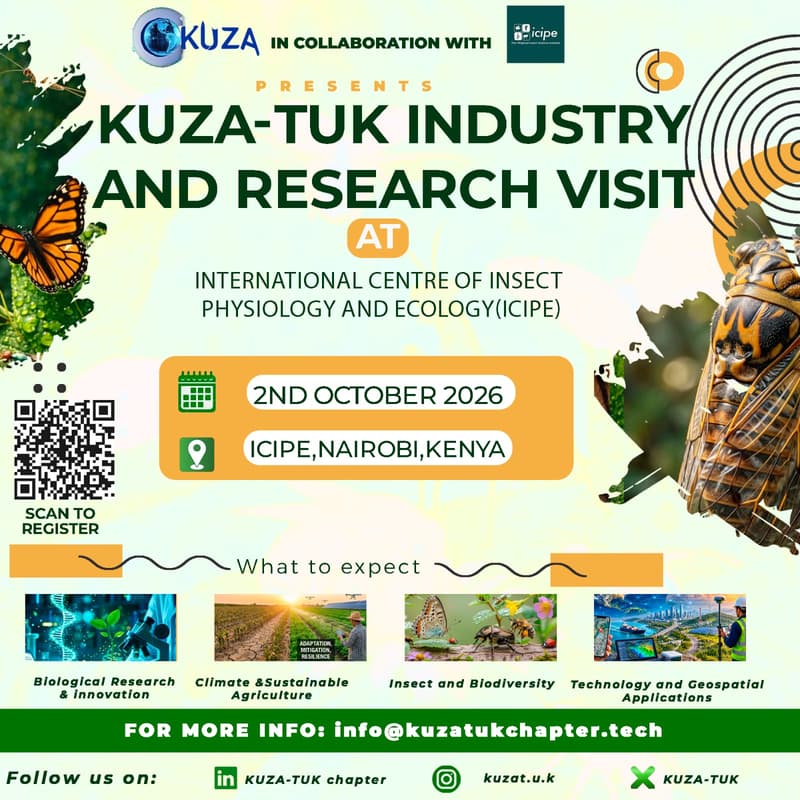
KUZA-TUK Chapter ICIPE visit
The purpose of this visit is to expose students to practical applications of geospatial science within an interdisciplinary research setting. ICIPE applies Geographic Information Systems (GIS), remote sensing, and spatial data analysis in mapping and monitoring insect pests, disease vectors, and their environmental interactions across Africa. Areas of learning relevant to the Department of Surveying and Spatial Sciences include field data collection using GPS and remote sensing technologies, geospatial database management, spatial analysis techniques applied to ecological and public health research, and the integration of spatial data in real-world scientific decision-making. This exposure will enhance students' understanding of how surveying and spatial science skills are applied beyond conventional fields, particularly in environmental and health-related research.