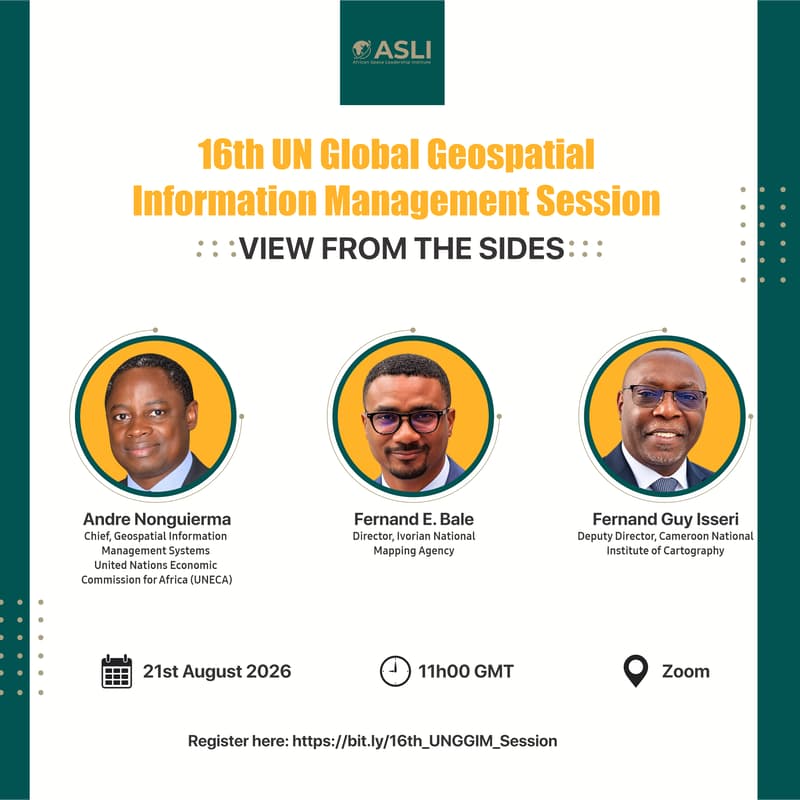
View from the Sides: 16th UN Global Geospatial Information Management (GGIM) Session
The 16th United Nations Global Geospatial Information Management (UN-GGIM) Session was held from 5-7 August 2026, at the UN Headquarters, New York, USA. UN-GGIM is the intergovernmental mechanism set by the UN for consultation, cooperation and coordination in the use and management of global geospatial information, for the attainment of the Sustainable Development Goals (SDGs) and the United Nations Integrated Geospatial Information Framework (UN-IGIF).
Join us on 21st August 2026 as we reflect on the deliberations and outcome of the Session.
We thank our lead discussants, who represented Africa at the meeting:
👉 Andre Nonguierma (Chief, Geospatial Information Management Systems, United Nations Economic Commission for Africa)
👉 Fernand BALE (Director, Centre d’Information Géographique et du Numérique, at BNETD-Bureau National d'Études Techniques et de Développement)
👉 Fernand ISSERI (Deputy Director, Cameroon National Institute of Cartography and Member, Council of the African Space Agency)
Fernand Balé is a senior geospatial specialist with over 20 years of experience in the field. For the past decade, he has worked closely with governments, political leaders, and decision-makers across developing countries, primarily in Africa, to harness the full potential of geospatial technology in addressing sustainable development challenges. He currently serves as Director of CIGN (Ivorian National Mapping Agency) at BNETD (Bureau National d'Études Techniques et de Développement), Côte d'Ivoire's national engineering and development planning institution. Mr. Balé is actively engaged in several leading international organizations and initiatives, including: Co-Chair of the United Nations Subcommittee on Geodesy; Member of the International GNSS Service (IGS) Governing Board; Member of the International Advisory Committee of the UN Global Geodesy Centre of Excellence (Bonn); Chair IAG Sub-Commission 1.3 on Regional Reference Frames; and Member of the OGC (Open Geospatial Consortium) Planning Committee.
Fernand Guy ISSERI is a Cameroonian geographer and cartographer specializing in geospatial information governance, data management, and African space policy. Since 2002, he has served as Deputy Director responsible for the production and dissemination of geographic information at Cameroon’s National Institute of Cartography (INC). At the international level, he is Co-Chair of the United Nations High-Level Group on the Integrated Geospatial Information Framework (UN-HLG-IGIF), contributing to the advancement and implementation of sustainable geospatial policies, particularly in developing countries. He previously served as Co-Chair of the United Nations Committee of Experts on Global Geospatial Information Management (UN-GGIM) from 2018 to 2021. Since July 2024, he has also been a member of the African Space Council of the African Union, representing Central Africa and contributing to the strategic oversight of the African Space Agency (AfSA) and the development of Africa’s space policy. He holds a Master’s degree in Remote Sensing and Geographic Information Systems from CRASTE-LF in Morocco and a Master’s degree in Climatology and Environment from the University of Yaoundé I. His areas of expertise include statistical-geospatial integration, geospatial data standards, institutional and legal frameworks, and the development of national and regional geospatial ecosystems. Fernand Guy ISSERI regularly contributes to major international forums and supports African countries in strengthening the legal, institutional, and technical foundations of geospatial information governance for sustainable development.