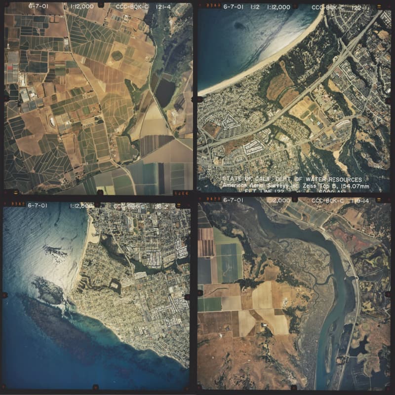

Aerial Photography 101
Aerial photography (air photos) record changes on Earth's surface. They have wide-ranging applications in the natural sciences, land use and urban planning, civil and environmental law, real estate, and more. They are essential for 20th century research that predates high-resolution, high-frequency satellite and remote-sensing data.
In this hands-on workshop will be covering introductory search skills for locating digitized and un-digitized air photos in Stanford University Libraries' collections and beyond for use in nearly any discipline. This session is open to any and all levels of interest.
Attendees of can expect to learn how to find and collect maps for use in their own work. We will cover:
The history of aerial photography
How to find air photos
The basics of air photo interpretation