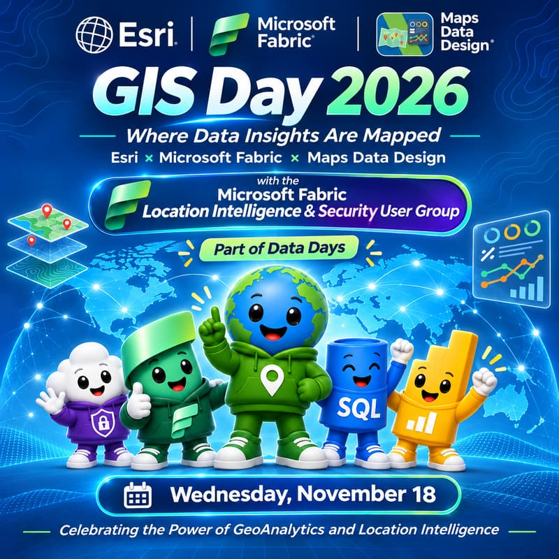

GIS Day 2026 - Where Data Insights Are Mapped (Fabric x Esri)
🌍 GIS Day 2026: Where Data Insights Are Mapped
Celebrating the Power of GeoAnalytics and Location Intelligence
📅 Wednesday, November 18, 2026
⏰ 10:00 AM ET | 8:30 PM IST
🌐 Virtual | Global Community Celebration
🎉 Celebrating GIS Day 2026 and participating in Data Days: AI @Work
Featuring Esri ArcGIS, Microsoft Fabric, and Maps Data Design
Organized by GeoCyber Systems LLC and the Microsoft Fabric Location Intelligence & Security User Group.
🌎 Where Geography Meets Data, AI, and Innovation
Every dataset tells a story. Location helps us see the bigger picture.
Join us for GIS Day 2026, a global celebration of geographic information systems, geospatial innovation, and the power of location intelligence to transform how we understand our world.
This year's official GIS Day theme, GIS: Powering Purpose and Innovation, celebrates the innovators, problem-solvers, and storytellers who use geographic information systems to turn insights into meaningful outcomes.
We're bringing that mission together with Data Days: AI @Work, where real people, real projects, and real-world applications of AI, data engineering, and analytics take center stage.
Our celebration explores what happens when Esri ArcGIS, Microsoft Fabric, GeoAnalytics, and AI come together to connect data, people, and places.
From environmental monitoring and disaster resilience to smart cities, public safety, business intelligence, and global challenges, geospatial technology enables us to discover patterns, understand relationships, and make more informed decisions.
Because data tells us what is happening.
Location intelligence helps us understand where, why, and what we can do about it.
🗺️ What We'll Explore
🌍 GIS: Powering Purpose and Innovation
Celebrate the power of geographic information systems to address real-world challenges. Discover how spatial thinking connects communities, industries, and technologies to create meaningful impact.
🗺️ Esri ArcGIS: Bringing Geography to Life
Explore the ArcGIS ecosystem, including ArcGIS Online, ArcGIS Living Atlas of the World, mapping, spatial analysis, and geospatial storytelling. See how geographic context helps transform data into insight.
🟢 Microsoft Fabric: Connecting Data and Location Intelligence
Discover the possibilities of integrating geographic information with modern cloud analytics. Explore how Microsoft Fabric, OneLake, Power BI, and Esri technologies support location-aware analysis and visualization.
📊 GeoAnalytics: Finding the Patterns That Matter
Go beyond traditional tables and dashboards. Explore how spatial joins, proximity analysis, geographic enrichment, and spatial patterns reveal relationships and opportunities that conventional analytics can miss.
🤖 GeoAI: Real Data, Real Projects, Real Impact
Connect the Data Days: AI @Work mission to the geospatial world. Explore how AI, machine learning, remote sensing, and location-aware analytics can support environmental monitoring, disaster resilience, urban planning, and operational decision-making.
🎨 Maps, Data, Design: Turning Insights into Stories
Celebrate the creativity behind great maps and data visualizations. Discover how effective cartography, thoughtful design, and geospatial storytelling make complex information accessible, understandable, and actionable.
💡 From Data to Decisions
GIS is more than maps, and AI is more than automation.
Together, geospatial technology and modern analytics help us ask better questions, identify meaningful relationships, and translate knowledge into action.
This event brings together the GIS and data communities to explore how geography can enhance the way we collect, analyze, visualize, and communicate information.
Inspired by the Data Days philosophy of real people, real projects, and real AI, we'll focus on practical applications, community knowledge, and the technologies helping us solve real-world problems.
👥 Who Should Attend?
Whether you're just discovering GIS or working with advanced geospatial analytics, you're welcome.
🌍 GIS professionals, geographers, cartographers, and remote sensing specialists
📊 Data analysts, Power BI developers, and business intelligence professionals
☁️ Microsoft Fabric users, data engineers, and cloud architects
🤖 AI/ML practitioners and spatial data scientists
🏙️ Urban planners, environmental researchers, and disaster resilience professionals
🎓 Students, educators, technology enthusiasts, and curious minds
No prior experience with GIS or Microsoft Fabric is required.
Bring your curiosity, questions, and enthusiasm for maps, data, and discovery!
🎉 Two Global Celebrations. One Connected Community.
🌍 GIS Day 2026
GIS: Powering Purpose and Innovation
GIS Day celebrates the people using geographic information systems to drive innovation, advance understanding, and create positive change.
Learn more: https://www.gisday.com
💚 Data Days 2026: AI @Work
Real people. Real projects. Real AI on Fabric, SQL, and Power BI.
Running November 2 through December 15, Data Days brings the data community together for live learning, practical projects, certification preparation, and shared discovery.
Explore Data Days: https://aka.ms/DataDays
🌐 Our Community
Maps Data Design, an initiative of GeoCyber Systems LLC, explores the art and science of GIS, cartography, geospatial intelligence, remote sensing, and data visualization.
The Microsoft Fabric Location Intelligence & Security User Group brings together a global community of professionals exploring the intersection of spatial analytics, cloud data platforms, AI, and security.
Together, we're building connections between the geospatial and data communities, creating opportunities to learn, collaborate, and innovate.
This independently organized community event celebrates GIS Day and participates in the Data Days learning initiative. Esri and Microsoft technologies are featured for educational purposes. Their inclusion does not imply official event sponsorship or endorsement.
🌍 Where Data Insights Are Mapped
Celebrating the Power of GeoAnalytics and Location Intelligence
Join us on November 18 as we celebrate the innovators, problem-solvers, and storytellers who are transforming how we understand our world.
Discover. Explore. Map. Innovate.
#GISDay2026 #GISDay #DataDays #MicrosoftFabric #Esri #ArcGIS #GeoAnalytics #LocationIntelligence #GeoAI #MapsDataDesign