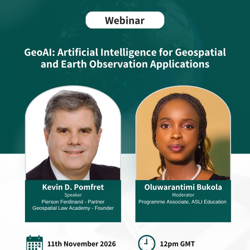
Webinar on GeoAI
GeoAI is the use of artificial intelligence (AI) and machine learning to analyse location-based data, such as satellite imagery and other Earth observation data. It helps users find patterns and changes in very large datasets and turn them into information for decisions in agriculture, climate monitoring, disaster risk management, urban planning and natural resource management.
For Africa, satellite data is increasingly accessible, but the skills, computing capacity and governance needed to use it well are still developing. This webinar will explain what GeoAI is, show how it is applied, and discuss what African institutions and practitioners need in order to adopt it responsibly.
The webinar will be facilitated by Kevin Pomfret.
Kevin is a trusted legal and strategic advisor to companies pushing the frontiers of geospatial technology, space, and data-driven innovation. A former satellite imagery analyst, Kevin combines deep corporate, regulatory, and transactional experience with 40 years in the geospatial community in helping clients navigate complex legal landscapes and achieve business goals in rapidly evolving markets. Kevin is also a recognized thought leader shaping the future of geospatial and space law. He is author of the textbook “Geospatial Law, Policy and Ethics: Where Geospatial Technology is Taking the Law.” He is a Professor of Geospatial Law and Ethics at the John Hopkins University, U.S.A., and a frequent international speaker on topics spanning privacy, AI, national security, and the opportunities and challenges of emerging technologies. His achievements have earned him recognition by Who’s Who Legal as one of only 47 outstanding lawyers worldwide in Transport—International Space and Satellites, inclusion in The Best Lawyers in America® (2022-26), recognized for his work in Cybersecurity by Virginia Business and Virginia Lawyers Weekly and being named Geospatial Ambassador of the Year by Geospatial World Forum in 2022.