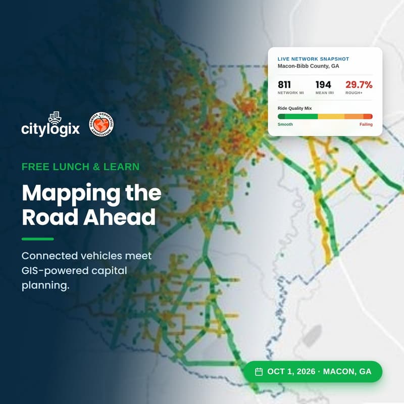
Mapping the Road Ahead: Citylogix and Georgia Geospatial Association Lunch & Learn!
Hosted by Citylogix
Registration
About Event
The session will feature:
Continuous pavement monitoring through connected vehicle technology
How real time IRI and road surface data become a live geospatial layer instead of a periodic snapshot
Integration with GIS-based asset management: linear referencing, prioritized project lists, capital planning tools, and work order generation
How documented, continuously updated condition data strengthens funding justification
Complimentary lunch and free parking on site