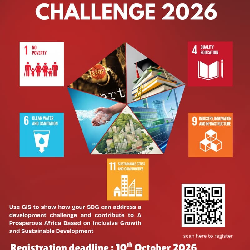
Call For Participation: GESA Visualization Challenge 2026
🌍 Visualization Challenge 2026 | GESA, University of Nairobi
The Geospatial Engineering Students Association (GESA), University of Nairobi, is proud to present the Visualization Challenge 2026 — an opportunity for students to transform geospatial data into meaningful insights, innovative solutions, and real-world impact.
Held as part of GIS Day 2026, under the theme “GIS: Powering Purpose and Innovation,” this year’s challenge invites students to apply their skills in GIS, remote sensing, data analysis, and geospatial visualization to address pressing development challenges.
🌍 2026 Challenge Focus
Participants will develop compelling geospatial visualizations addressing one of the following Sustainable Development Goals (SDGs):
🔹 SDG 1 – No Poverty
🔹 SDG 4 – Quality Education
🔹 SDG 6 – Clean Water and Sanitation
🔹 SDG 9 – Industry, Innovation and Infrastructure
🔹 SDG 11 – Sustainable Cities and Communities
The challenge is also aligned with African Union Agenda 2063, Aspiration 1: “A Prosperous Africa Based on Inclusive Growth and Sustainable Development.”
💡 What Are We Looking For?
Your visualization should go beyond simply displaying data. We want to see how geospatial information can help us understand real-world challenges, communicate insights, and inspire practical solutions.
Participants may select one SDG as their primary area of focus while demonstrating how their work contributes to a more prosperous, inclusive, sustainable, and resilient Africa.
🚀 Why Participate?
✨ Showcase your GIS, remote sensing, data analysis, and visualization skills.
🌍 Work on real-world development challenges.
💡 Turn geospatial data into stories and actionable insights.
🤝 Connect and compete with students from across Kenya.
🏆 Gain recognition and compete for exciting prizes.
👥 Participation
Participants may enter individually or in teams of up to three members.
The challenge is open to students from universities across Kenya.
📅 Key Details
Registration Deadline: 12th October 2026
Submission: Details will be communicated to registered participants.
Team Size: Individual or teams of up to 3 members.
📩 Contact: uongesa@students.uonbi.ac.ke
Don’t just map the problem. Visualize the insight. Power the purpose.
Join us for the Visualization Challenge 2026 and show how geospatial innovation can contribute to the Africa we want.