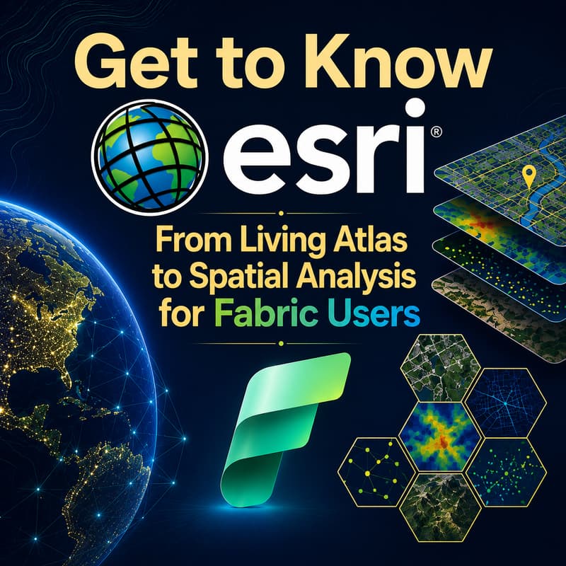
Get to Know Esri: From Living Atlas to Spatial Analysis for Fabric Users
📅 Tuesday, June 30, 2026 ⏰ 7:30 – 9:00 AM PT | 10:30 AM – 12:00 PM ET | 2:30 – 4:00 PM GMT | 3:30 – 5:00 PM WAT | 8:00 – 9:30 PM IST 📺 YouTube Livestream
This is Session 2 of the Microsoft Fabric Location Intelligence & Security User Group Data Days series, running June through August 2026. 🎙️
Most Microsoft Fabric users know Power BI. Many know OneLake. Far fewer know Esri — and that is a gap worth closing.
Esri is the world's leading geographic information system platform, and its ecosystem of data, tools, and services connects directly to Microsoft Fabric in ways that most Fabric practitioners have not yet explored. This session is your guide to that ecosystem: what it contains, how to access it, and how to put it to work alongside your Fabric data.
If you attended Session 1 on June 23, this session goes deeper into the Esri world that powers ArcGIS Maps for Microsoft Fabric. If this is your first session in the series, it stands completely on its own.
📍 WHAT THIS SESSION COVERS
The Esri ecosystem is vast. This session gives Fabric users a practical map of what matters most — starting with the Living Atlas of the World, the largest collection of global geographic information freely available to ArcGIS users, and building toward spatial analysis workflows that connect directly to your OneLake and Fabric environment.
YouTube Livestream:
📋 TOPICS
🟣 Introduction to Esri for Fabric Users • What Esri is and why it matters for Microsoft Fabric practitioners • The relationship between ArcGIS, ArcGIS Online, and Microsoft Fabric • How Esri and Microsoft are working together in 2026 • Key Esri concepts every Fabric user should know: layers, feature services, web maps, and spatial data formats
🟢 The Living Atlas of the World • What the Living Atlas is and what it contains • Categories of Living Atlas content: basemaps, boundaries, demographics, environment, imagery, and real-time data • How to access Living Atlas content from ArcGIS Online and bring it into your Fabric environment • Practical examples: enriching your OneLake data with demographic boundaries, environmental layers, climate data, and infrastructure datasets • Using Living Atlas content to add business, lifestyle, and environmental context to your organization's data
🟠 ArcGIS Online for Fabric Users • What ArcGIS Online is and how it complements Microsoft Fabric • Connecting ArcGIS Online content to ArcGIS Maps for Microsoft Fabric • Sharing and publishing maps and layers between ArcGIS Online and Fabric workspaces • Organizational accounts, public content, and what is available without a paid Esri license
🔵 Spatial Analysis for Fabric Users • What spatial analysis is and how it differs from standard BI analytics • Core spatial analysis operations: proximity, clustering, overlay, density, and network analysis • How spatial analysis changes the questions you can ask of your data • Connecting spatial analysis outputs back into Fabric for reporting and AI workflows • GeoParquet and open geospatial formats in OneLake
🩷 Practical Walkthrough • Finding and using Living Atlas content in an ArcGIS Maps for Fabric session • Enriching a OneLake dataset with Esri demographic and environmental data • Publishing a spatial analysis result back into a Fabric workspace • Resources for going deeper: Esri training, ArcGIS documentation, and community channels
👥 WHO SHOULD ATTEND
This session is for Microsoft Fabric users who want to understand the Esri ecosystem and how it connects to their existing Fabric workflows, including:
✅ Data Engineers and Analytics Engineers new to Esri ✅ Fabric Practitioners and Architects evaluating geospatial capabilities ✅ Power BI Developers who want richer geographic context in their reports ✅ GIS Analysts moving into or working alongside Microsoft Fabric ✅ Data professionals preparing for Esri UC or ArcGIS certification paths
No prior Esri or GIS experience required. 🛠️
📺 FORMAT
Interactive YouTube livestream with full replay available after the event. Bring your questions — this session includes live Q&A and is designed to be accessible to Fabric users who are new to the Esri world.
ℹ️ ABOUT THIS SERIES
This session is part of the Microsoft Fabric Location Intelligence & Security User Group Data Days series, a set of focused 90-minute sessions running June through August 2026 on YouTube.
Series arc: 📍 June 23: Location Intelligence with Maps and GeoAnalytics in Microsoft Fabric 🌿 June 30: Get to Know Esri: From Living Atlas to Spatial Analysis for Fabric Users 🔐 July 7: Data and AI Security and Governance in Microsoft Fabric 🧠 July 22: Fabric IQ for Data Professionals 📊 August 4: KQL for Data and Security Professionals
The Microsoft Fabric Location Intelligence & Security User Group is not affiliated with or run by the Microsoft Fabric Community or the Fabric User Group Network.