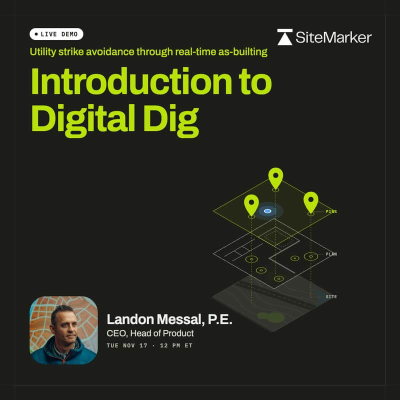
Introduction to Digital Dig in SiteMarker (LIVE DEMO)
Live demo: real-time as-builting, QA/QC, and survey-grade layout from one app, with your plans on the map, plus Q&A.
Most GC field workflows run through four tools that each do one job well: a GNSS receiver to locate, CAD to translate, a mapping platform to visualize, and phone calls to act. Every handoff between them costs days while the schedule runs in hours. Digital Dig is SiteMarker's answer: pair your GNSS receiver to the app and capture position, plan, and proof together, in the moment the work happens.
What you'll see built live:
Underground utility as-builts drawn while the trench is open: drop geo-located pins on each exposed utility, auto-draw them into lines, and save them as an exportable map layer (<1 in)
Overlaying PDF plans and DXF/KMZ/KML linework so every stakeholder sees live location on the same map
A QR code for site signage so subs can check as-builts before they dig
We'll also discuss:
QA/QC with a living record: guide mode walks you to each checkpoint, you mark it approved or needs action with photos, and the report builds itself (<1 in)
Survey-grade stakeout without waiting on the surveyor: one-touch "Stake Confirmed" pins that carry device-calibration metadata (<1 in)
Who this is for: general contractors, self-perform site work and utility contractors, field engineers, and QA/QC and VDC leads on infrastructure and development projects.