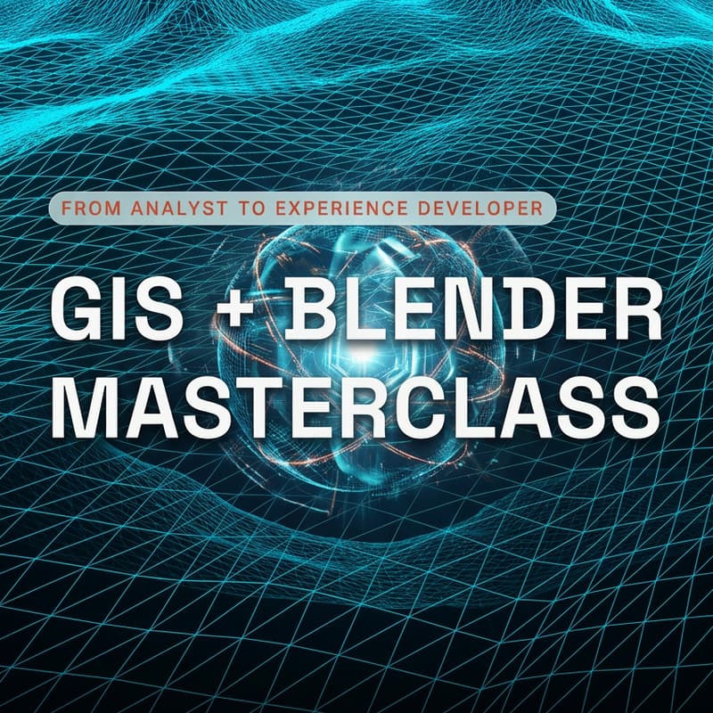
Level 1 | Blender + GIS Masterclass
Blender + GIS Masterclass
2-Day Live Intensive (5 Hours Total)
Have you been stuck in repetitive workflows that could be automated—but aren’t sure what to replace them with?
This masterclass is designed to help you move beyond manual, low-leverage GIS work and step into building high-impact, visual, and scalable outputs using 3D tools.
📅 Format
2 Days (Live, Cohort-Based)
2.5 hours per day (5 hours total)
1:00 PM – 3:30 PM EST (both days)
You’ll join a small group of professionals working through the same transition, so this isn’t just coursework; it’s a focused, hands-on experience.
What you’ll learn:
In this masterclass, you’ll learn how to:
Break out of repetitive, automatable GIS workflows
Use Blender to create compelling 3D geospatial visuals
Integrate spatial data into modern storytelling workflows
Build outputs that are portfolio-worthy, scalable, and attention-grabbing
Who this is for
GIS professionals ready to go beyond traditional mapping
Analysts tired of low-visibility, repetitive work
Designers and developers curious about 3D + real-world data
Anyone looking to build a more creative, future-proof skillset
What makes this different
This isn’t a passive tutorial.
We make this workshop small so we can troubleshoot with notoriously difficult software.
That's why this live event has a 300% success rate compared to the recording.
You’ll leave with:
A clear understanding of how to structure 3D + GIS workflows
A mental model for choosing the right tools (not just more tools)
The foundation to create work that stands out—in your portfolio and your career
⚠️ Limited seats
To keep this interactive and high-quality, capacity is limited.