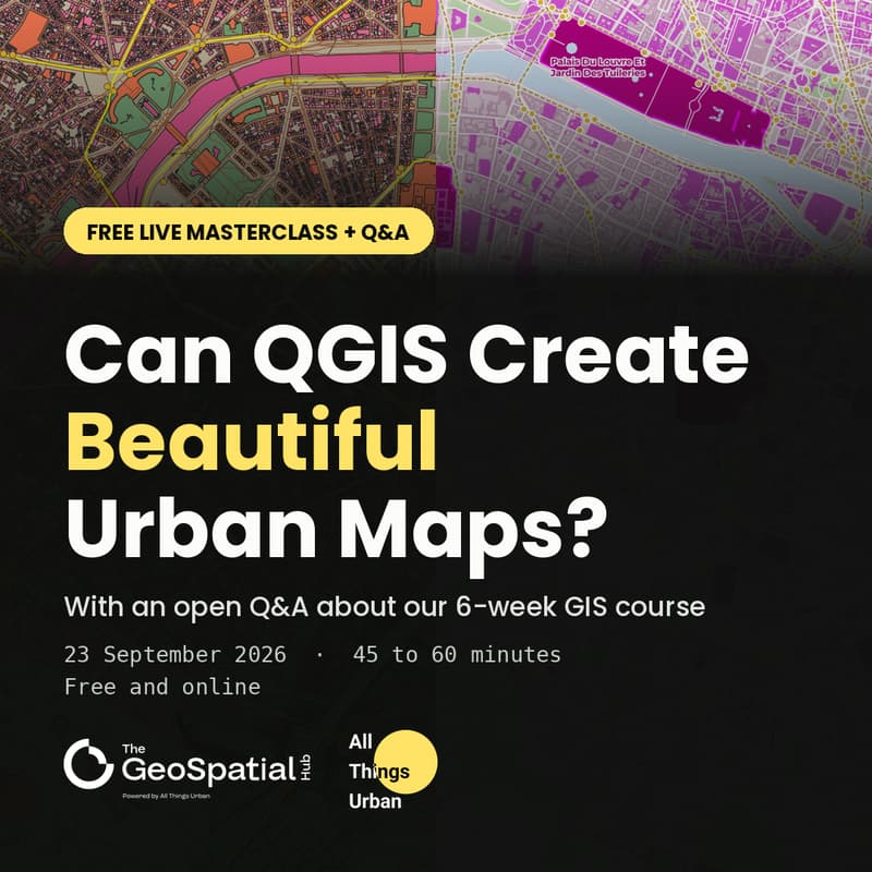

Can QGIS Create Beautiful Urban Maps? Live Masterclass + GIS Course Q&A
QGIS is a powerful tool for spatial analysis. But can it also produce maps that are clear, compelling and beautiful?
In this free live masterclass, we will explore how professional urban maps are created in QGIS. Using real examples, we will explain how datasets, colours, categories, labels and visual hierarchy can transform spatial information into a map that communicates a clear story.
You will discover:
What makes a map both informative and visually engaging
How different urban datasets can be visualised
How styling choices influence the way a map is understood
Practical approaches to colours, categories, labels and visual hierarchy
Examples of professional maps created entirely in QGIS
The session is designed for urban planners, architects, urban designers, mobility and sustainability professionals, researchers, students, and anyone interested in using maps to understand places and communicate ideas.
The masterclass will be led by Juan Pablo Corral, Co-Founder and Director of Applied GIS and Education at The GeoSpatial Hub, and instructor of the GIS and Spatial Analysis for Urban Practitioners course.
The open Q&A will be hosted by Juan and Anastasia Sukhoroslova, Founder and CEO of All Things Urban and Co-Founder and Managing Director of The GeoSpatial Hub. Together, they will answer your questions about the upcoming GIS and Spatial Analysis for Urban Practitioners course, including its content, format, learning experience, time commitment, available options and whether it is the right fit for your goals.
If you are considering joining, this is an opportunity to meet the instructor, experience his teaching approach and ask any questions you might have.
No previous GIS or QGIS experience is required.
This free session is organised by The GeoSpatial Hub, powered by All Things Urban.
The session will last approximately 45 to 60 minutes. We encourage you to attend live so you can ask your questions directly. A recording is not guaranteed.