Measuring What Matters: Satellite-Based Carbon & Biodiversity Monitoring for the Agricultural Space - Demo for the Baltic States
Why This Matters
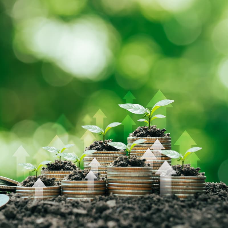
Nature is our primary asset - and it's under pressure.
Natural and semi-natural ecosystems reflect exactly how humans make land use decisions. Across the Baltic States, Lithuania in particular faces an accelerating trend: farmers are converting permanent grasslands (PG) into arable land (AL), driven by short-term production logic and logistics - without accounting for the irreversible ecosystem costs:
Old meadows and biodiversity-rich grasslands can store up to 320t CO₂ equivalent/hectare - the majority of which is released through a single ploughing event, with restoration requiring 20+ years
Grasslands form critical ecological networks enabling species spread, biotope variability, and landscape connectivity
They act as nitrogen buffers protecting water bodies and vulnerable wetland habitats from intensive arable farming runoff
This trend has raised urgent concern among NGOs, national administrations, and ministries, who need data-driven tools to support evidence-based policymaking, CAP compliance monitoring, and EU Green Deal alignment. Simultaneously, private market actors, namely food corporations, banks, insurers are increasingly recognising natural value as a key lever to manage physical climate risk and long-term portfolio resilience.
What We've Built
As part of the ESA Green Transition Information Factory (GTIF) EOX together with AgrEO-Europe and PRO-NATUR have developed a geospatial analytics dashboard and further Natural Capital Solutions development tool - combining Copernicus Sentinel satellite data, LPIS/GSA parcel information, UN-FAO soil carbon maps, and ground-truth verification to deliver decision-ready, annual insights at parcel level.
These are the three Use Cases demonstrated for Lithuania:
Permanent Grassland Loss - Tracking PG → AL conversions (2024–2025), with estimated carbon loss in t/ha, Euro value of carbon loss, and biodiversity/ecosystem service loss per parcel
Soil Organic Carbon (SOC) - Existing SOC content, annual sequestration potential, and projected 20-year scenarios under conventional vs. sustainable land management practices
Ecosystem Connectivity & Biodiversity Loss - Scaling the vulnerability and ecological impact of PG conversions using a connectivity index based on neighbouring ecosystem variability
Further, the NCS.eox.at platform extends these analytics into a scalable digital Monitoring, Reporting & Verification infrastructure for baseline & scenario modelling - purpose-built for the agri-finance and land governance space. It enables:
Biodiversity & Carbon Outcome Evaluation - assessing ecological results achieved through specific land management activities, grounded in IACS/LPIS data and supplemented by local ground-truth inputs
Portfolio Selection & Reporting - users can define, save, and export custom parcel selections for structured reporting on supply-chain sustainability metrics, CAP compliance documentation, or biodiversity impact disclosure
Nature-Based Financing Integration - linking verified land management outcomes directly to CAP subsidy structures and emerging private finance instruments, creating a transparent, audit-ready pipeline from field to fund
Combining this, we are aiming to build a practical bridge between satellite-derived evidence and the financial, regulatory, and reporting frameworks that paying agencies, food corporations, banks, and insurers increasingly require - at scale, across the Baltic States and beyond.
We turn Copernicus satellite data and LPIS parcel records into audit-ready carbon, biodiversity, and ecosystem service metrics - usable by paying agencies, ministries, and financial actors at scale.
Who Should Attend
Paying agencies & Environmental ministries as well as land use regulators in the Baltic region
NGOs active in biodiversity conservation and grassland protection
Agri-food sector partners plus Nature Finance & Nature Tech Advisors interested in monitoring & managing nature-related risk
Session Goal & what you get
This session is a working demo built for your context and we want your input to make it better.
In 30-min live demo of GTIF Baltics Dashboard + ECOSYS Platform and an open feedback discussion round (up to 60 min total) you will:
See live satellite-derived parcel data for Lithuania - permanent grassland loss, carbon stock changes, and ecosystem connectivity shifts
Explore actionable metrics - carbon loss in t/ha, Euro value of ecosystem degradation, SOC sequestration scenarios under conventional vs. sustainable management over 20 years
Shape what gets built next - your feedback directly informs which use cases, data layers, and user flows are prioritised for Baltic-wide rollout
We are looking forward to seeing you at our first webinar powered by EOX.